|
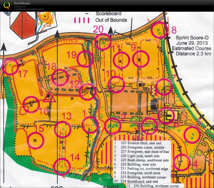
This is a score style competition, meaning that competitors are required to make decisions about which locations to visit in order to gather the most points within the time limit.
The farther the location marker, the more points it is worth. A simple example shown at left taken from Possom Trot Orienteering Club (www.ptoc.org) in Kansas shows the types of decisions competitors will have to make. Starting at the triangle, how would you collect the most points? This also means that competitors will need to be aware of their time (wear a watch!) as there is a 2 point per minute penalty for coming in past the time limit. Competitors 15 minutes over the time limit will be disqualified from awards. |
Vegetation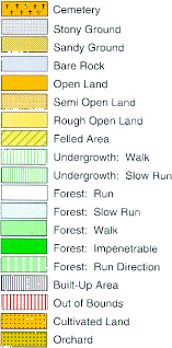
It is best to avoid anything marked in green. While the lighter greens may be passable, they should be avoided due to the extensive poison ivy growth this summer. If it isn't open, or lacks a trail, please avoid the area.
The yellow "open ground" is based on regular mowing patterns. Rough open areas have been allowed to naturally grow and mostly consist of high grasses and wild flowers. |
Contours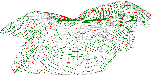
The contours on this map were drawn from LIDAR data provided by TNRIS.
They are to a 1 meter scale, so much of the micro-terrain is easily read and makes for a great training opportunity for beginners to discuss different land forms and changes that they see in the ground. This makes it very easy to navigate using only the map and your brain. Ensure you rotate the map so that it matches what you see on the ground! It is important to note for those with experience running NTOA (www.ntoa.com) competitions that most of their maps are 3 meter contours and thus subtle terrain will not be marked, but on this map it will be! |
Competition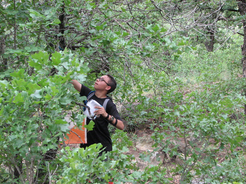
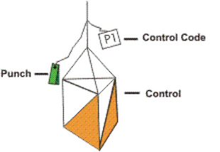
All of the locations are designated by an orange and white bag with a hanging punch similar to a stapler. Simply ensure the code matches the one on your map and punch the corresponding space on your score card to receive credit for visiting that location. Each punch contains a unique pattern.
|
